
Expert Solutions
Specialized Services for Coastal and Climate Resilience

01.
Coastal Geological & Geotechnical Studies:
We conduct applied geological and geotechnical investigations tailored to dynamic coastal environments. Our services include subsurface characterization, sediment and soil analysis, erosion assessments, and slope stability evaluations. These studies provide the critical technical foundation for infrastructure planning, land-use decisions, and environmental impact assessments in areas exposed to sea-level rise, storm surge, and erosion.
02.
3D Geological Modeling & Geospatial (GIS) Analysis:
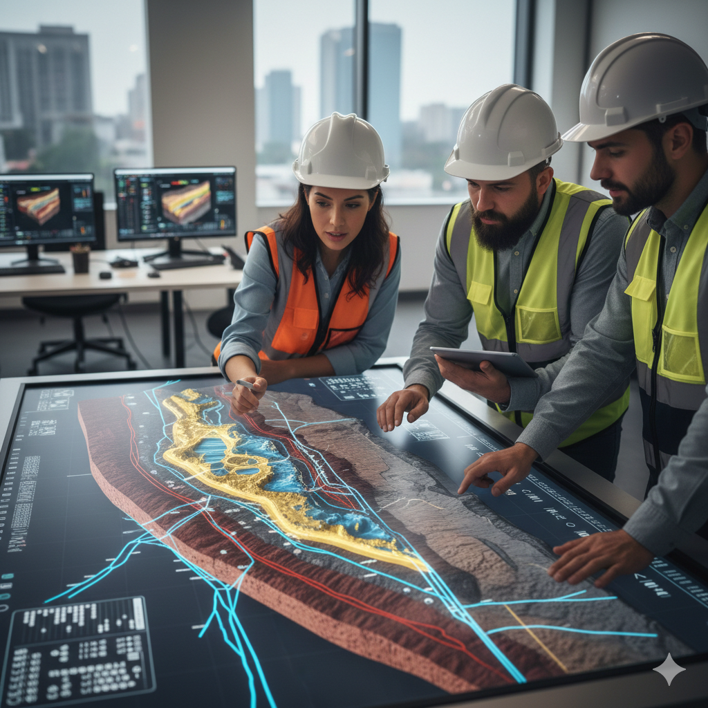
Leveraging advanced GIS platforms, remote sensing data (LiDAR, bathymetry), and 3D modeling software, we create high-precision visualizations of subsurface conditions, flood dynamics, and risk scenarios. These powerful tools enable clients to visualize complex environmental data, prioritize investments, and optimize land-use planning with a level of precision not available through traditional analysis.

03.
Environmental Assessment, Risk Management, and Climate Resilience:
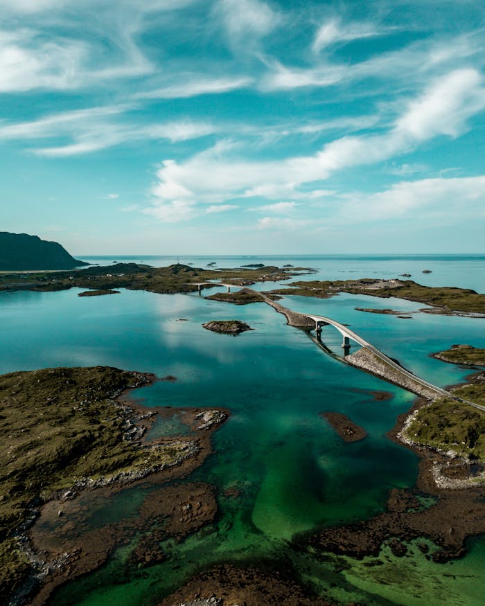
We deliver comprehensive environmental evaluations and climate risk assessments focused on coastal systems. This includes vulnerability analyses, sea-level rise projections, flood risk mapping, and the development of adaptation and mitigation strategies that align with federal and state resilience initiatives (such as FEMA BRIC and NOAA programs).
04.
Infrastructure Vulnerability & Critical Systems Protection:
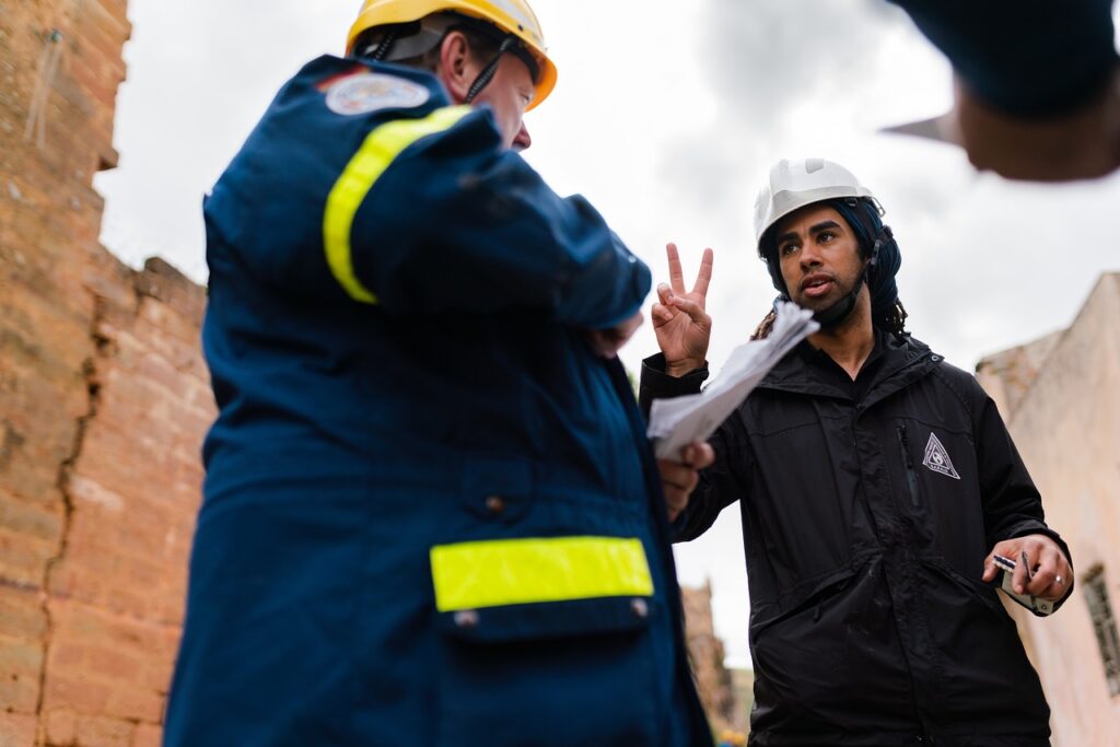
We provide specialized assessments of climate and geohazard risks affecting critical coastal infrastructure, including ports, transportation corridors, wastewater facilities, and energy networks. By integrating geological, geotechnical, and hydrodynamic analyses, we help asset owners and public agencies identify vulnerabilities and prioritize mitigation measures to ensure continuity of essential services.
05.
Sustainable Land-Use & Coastal Planning Consultancy:
We offer expert guidance in sustainable land-use and territorial planning, integrating geoscientific data, environmental constraints, and regulatory requirements. This includes support for zoning decisions, coastal development guidelines, and strategic planning initiatives aimed at balancing economic growth with long-term environmental protection.
06.
Technical Training & Capacity Building:
We provide specialized training programs and workshops for professionals, public officials, and academic institutions. Offerings include GIS applications, climate risk assessment methodologies, and applied geosciences for coastal resilience. This service strengthens local technical capacity and supports the development of a skilled workforce prepared to address complex environmental challenges.

07.
Coastal Infrastructure Risk Assessment and Critical Systems Protection:
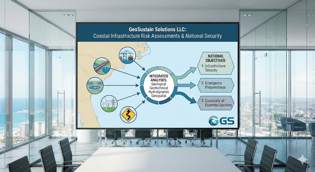
GeoSustain Solutions LLC provides specialized assessments of climate and geohazard risks affecting critical coastal infrastructure, including ports, transportation corridors, wastewater treatment facilities, energy distribution systems, and evacuation routes. These assessments integrate geological, geotechnical, hydrodynamic, and geospatial analyses to identify vulnerabilities and prioritize mitigation measures. This service directly supports national objectives related to infrastructure security, emergency
preparedness, and continuity of essential services, thereby reinforcing the national importance of the endeavor.
08.
Climate Data Integration, Decision-Support Tools, and Scenario Modeling:
The company develops customized decision-support tools that integrate
climate data, geospatial information, and predictive modeling to support public-sector planning and private investment decisions. These tools allow stakeholders to evaluate multiple adaptation scenarios, compare costs and benefits, and identify optimal strategies under varying climate conditions. By transforming complex scientific data into actionable intelligence, this service provides measurable economic benefit through improved capital
allocation and reduced long-term risk exposure.
Our Approach
Committed to Innovative and Sustainable Practices
Collaborative Engagement
We work closely with clients to understand their unique challenges.
Data-Driven Decisions
Utilizing advanced data analysis to inform our strategies and solutions.
Sustainable Solutions
Delivering innovative solutions that prioritize ecological and community resilience.
Partner with Us for a Sustainable and Resilient Future
Contact our team to explore how we can support your coastal planning needs.